

Banana Bay
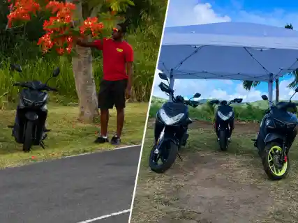
Banana Bay lies just north of Cockleshell Beach on St Kitts's Southeast Peninsula and keeps a quieter, more open-ended shoreline character.
Browse beaches, towns, parishes, areas, and nature spots across St Kitts and Nevis.
Beaches, towns, parishes, areas, and nature spots.
Showing 1 - 12 of 101 places
Banana Bay lies just north of Cockleshell Beach on St Kitts's Southeast Peninsula and keeps a quieter, more open-ended shoreline character.
Basseterre Area is the urban heart of St Kitts, where the capital, harbourfront, and main commercial streets shape the island's most active service district.
Bat Cave is a cave site in rough foothill terrain above Challengers, set inland from the west coast near the Stone Fort River.
Bat Cave Trail is the route to Bat Cave on St Kitts, climbing from the Challengers side into west-southwest foothill terrain.
Bath Area is a quiet west-coast district on Nevis, known for spring heritage, older settlement patterns, and a slower pace just outside Charlestown.
Bath Hot Springs is the geothermal spring site near Bath Village on Nevis, where naturally heated water rises in the historic Bath corridor.
Belle Tete is a black-sand shoreline near Sandy Point on St Kitts, with an open coast, a local setting, and little built beach infrastructure.
Black Rocks is a volcanic rock formation on the northeastern Atlantic coast of St Kitts near Belle Vue and Saddlers, where dark lava fields meet heavy surf.
Cades Bay Beach is a west-coast beach on Nevis where calmer water, straightforward access, and a practical local setting shape the visit.
Camps River Watershed is the protected catchment on windward Nevis around Camps, where ravines, river channels, and forest gather runoff from the mountain.
Canoe Bay is a quieter shoreline on St Kitts's Southeast Peninsula, with light development and a more secluded feel than the main beach stops.
Central Forest Reserve National Park is the protected rainforest belt around Mount Liamuiga, covering much of the interior high ground of St Kitts.